


The modern digital landscape presents a persistent dilemma for privacy-conscious consumers trying to disentangle their daily workflows from big tech conglomerates. While migrating away from ubiquitous productivity suites like Gmail, Google Drive, and Google Photos has become relatively straightforward with the rise of encrypted alternatives like Proton, finding a viable replacement for location-based mapping software remains a formidable challenge. Google Maps has long held a near-monopoly on digital cartography, setting an exceptionally high bar for real-time traffic updates, local business data, and comprehensive satellite imagery. Nevertheless, driven by a personal commitment to minimize data surveillance and streamline user experience, I decided to take the plunge and test out a lesser-known contender: HERE WeGo. Over the past few weeks, this application has fundamentally reshaped how I navigate unfamiliar cities and plan weekend excursions. Although it lacks certain polish points found in its mainstream rivals, four core advantages explain why this understated platform ultimately earned a permanent spot on my home screen.

To understand the industry implications of such a switch, one must examine the broader trends shaping geospatial technology today. For years, major mapping ecosystems have evolved from simple point-to-point navigation tools into hyper-monetized local discovery engines. Applications are increasingly packed with algorithmic recommendations, sponsored listings, social media integrations, and localized advertising banners. While this commercial evolution benefits enterprise vendors and casual tourists looking for nearby dining options, it often compromises the core utility of the software for commuters, outdoor enthusiasts, and privacy advocates. The shift toward HERE WeGo represents a broader philosophical pushback against interface bloat, highlighting a growing consumer demand for minimalist, utility-first digital tools that prioritize immediate task execution over continuous behavioral tracking and engagement harvesting.
The first major selling point lies in the application’s unwavering commitment to operational focus. Weekend day trips often require preliminary reconnaissance—studying urban layouts, identifying municipal parking structures, and calculating transit durations across regional highways versus toll roads. HERE WeGo excels in delivering these essential metrics without encumbering the user interface with extraneous noise. When opening mainstream mapping applications, users are routinely confronted with promotional banners, fluctuating weather widgets, hyper-targeted hotel recommendations, and crowdsourced photo carousels. While these elements serve a purpose during vacation planning, they represent unwanted visual clutter when a driver simply wants to inspect a city grid or assess route geometry. By stripping away these algorithmic distractions, HERE WeGo provides a clean, uninterrupted cartographic canvas that grants significantly more screen real estate to the actual layout of the environment.
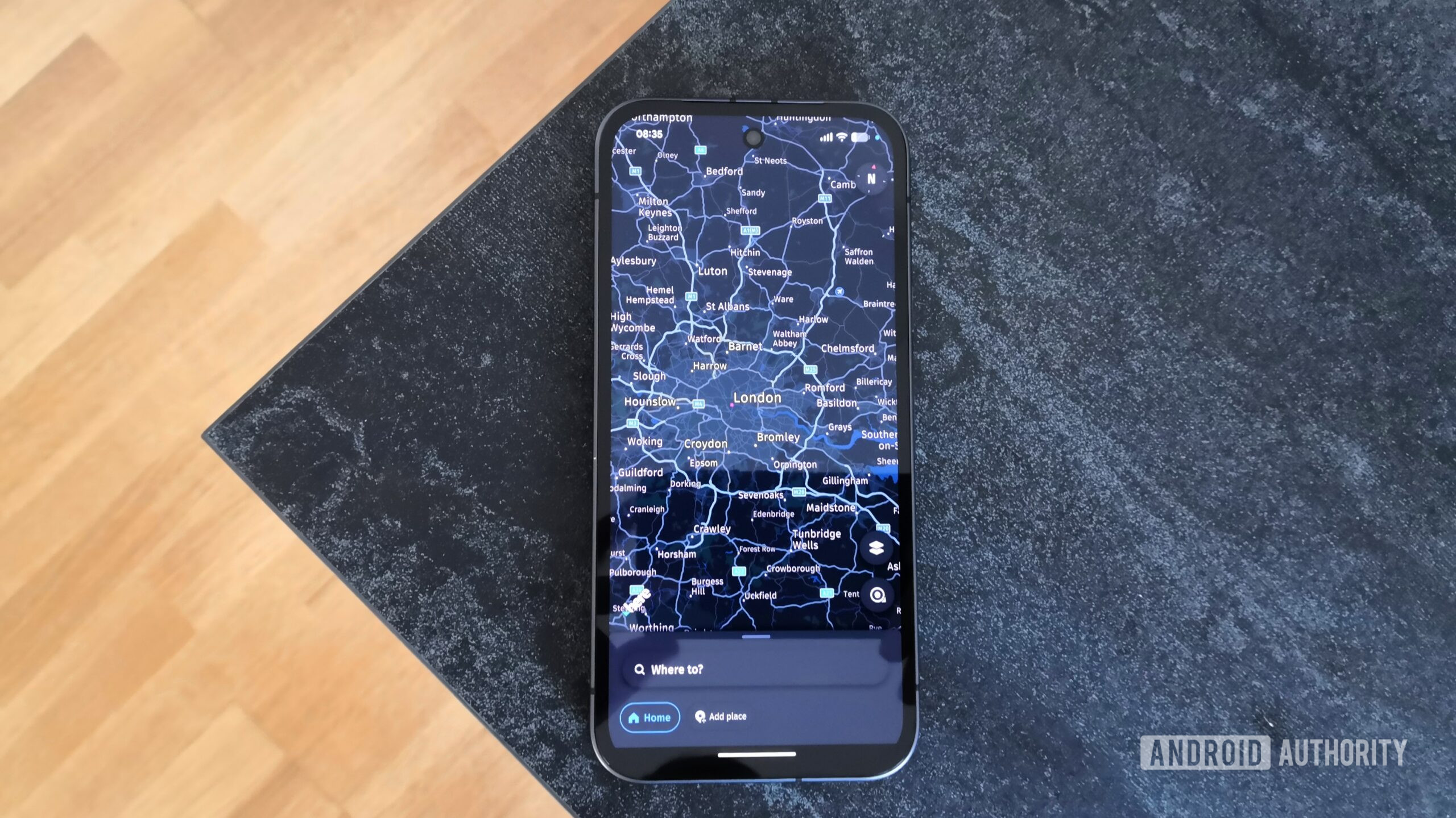
Offline accessibility introduces the second critical differentiator. Mobile data roaming fees remain an expensive hazard for international travelers, making comprehensive offline map downloading an absolute necessity. However, executing this task within dominant navigation software is notoriously cumbersome. Imposing arbitrary geometric boundaries—such as capped regional area restrictions of roughly 120,000 square kilometers—forces users to manually stitch together multiple overlapping rectangular selections to capture an entire country like Italy. This fragmented approach increases the risk of coverage blind spots and wastes valuable device storage. In contrast, HERE WeGo streamlines the workflow entirely. Users can seamlessly download complete national maps or granular regional packages with a single tap, eliminating the administrative headache of coordinate boxes and ensuring reliable navigation regardless of cellular connectivity.
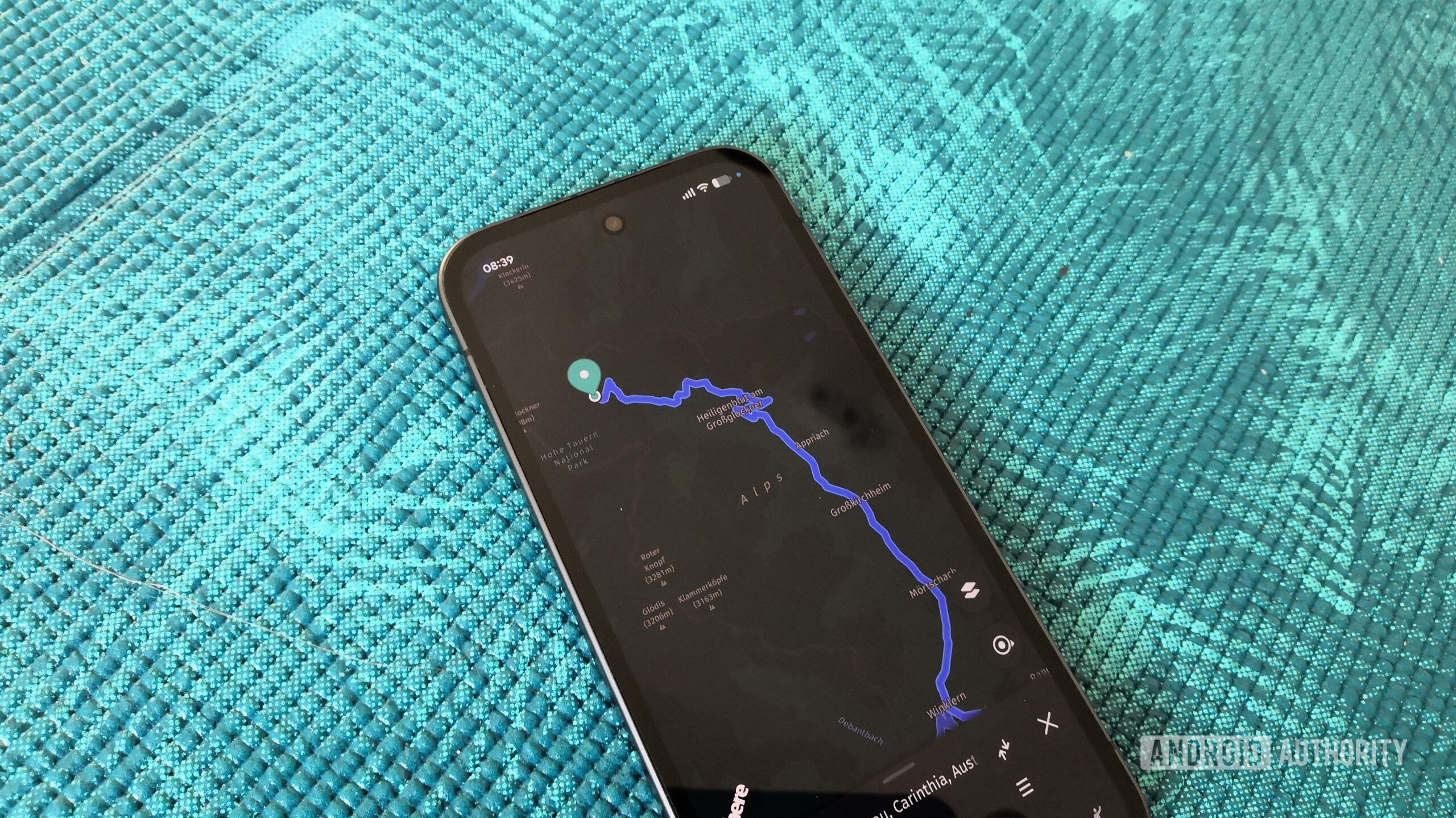
Urban mobility and pedestrian routing expose the third major divergence between the two platforms. While driving and transit directions on major highways often yield comparable results across competing mapping engines, pedestrian navigation frequently reveals stark discrepancies in localized map data fidelity. Testing both applications on a route leading to the summit of a popular local hiking trail highlighted these differences dramatically. Google Maps insisted on routing me along a dangerous, sidewalk-free arterial road that culminated in a high-density vehicular roundabout, artificially inflating both travel time and physical risk. Conversely, HERE WeGo generated an optimized pedestrian path utilizing integrated sidewalks, footbridges, and established rural shortcuts that bypassed vehicular hazards entirely. This disparity underscores a vital industry challenge: as mapping algorithms become increasingly dependent on automated vehicular telemetry, pedestrian-specific infrastructure and informal walkways are frequently overlooked by tech giants.

Beyond these major structural advantages, a constellation of thoughtful micro-features solidifies the appeal of HERE WeGo for power users. Parking infrastructure visualization is significantly more robust, highlighting smaller, municipal inner-city lots rather than exclusively focusing on large commercial parking garages and park-and-ride hubs. Furthermore, the application accurately displays precise building house numbers—a crucial detail often missing or approximated by general location pins on competing platforms—while maintaining a more updated representation of recently developed real estate. The ability to explicitly filter out unpaved or gravel tracks prevents routing algorithms from directing passenger vehicles down precarious rural shortcuts. Additionally, transparent data handling practices offer immense peace of mind for users seeking refuge from aggressive corporate telemetry and behavioral profiling designed for targeted advertising.
Despite these compelling advantages, a balanced technical analysis reveals that Google Maps retains clear superiority in several niche categories. Comprehensive street-level imagery remains an indispensable asset for evaluating road conditions over mountain passes or pre-viewing unfamiliar urban architecture. Furthermore, real-time traffic congestion analytics, dynamic roadwork alerts, and crowdsourced business reviews give the Google ecosystem an undeniable edge in overall data currency. Satellite imagery updates within the dominant platform are also frequently more rapid, providing higher-resolution views of rapidly changing suburban developments.
Ultimately, navigating the digital ecosystem requires pragmatic compromise rather than dogmatic purity. While HERE WeGo may not completely supplant the robust local discovery features of the industry leader for every conceivable use case, its minimalist interface, superior offline management, accurate pedestrian routing, and privacy-first architecture make it an exceptionally capable daily driver. As consumer fatigue with interface clutter and data harvesting continues to grow, underrated alternatives like HERE WeGo offer a refreshing glimpse into a more focused, user-centric future for digital cartography.
